
Darien Neighbors by Block
A Darien block is best understood through several official and local layers. Darien MapGeo supplies the geographic starting point. The Darien assessor portal supplies current property fields. The Darien Town Clerk land-record route supplies maps and recorded history. Voter records describe a municipal registration system, while Darien association pages describe private or civic context. Historical directories and Darien libraries can add an earlier view, but none should be turned into a current neighbor roster.
| Source | What It Shows About a Block | Access |
|---|---|---|
| Darien MapGeo property and abutter map | Current parcel geometry, nearby parcels, map-lot, account, and property-card links | Public viewer; distance setting and map state affect the result |
| Darien Assessor/iASWorld | Current owner, mailing, situs, assessment, sales, and building fields | Online search and Assessor public computers |
| Darien Town Clerk maps and land records | Recorded maps from 1820, deed index from 1969, and later document images | Online, Town Hall counter, vault or microfilm, and older-image email request |
| Darien street and district directories | Street ranges, voting-district context, and address normalization | Official PDFs; they do not publish a complete occupancy list |
| Darien voter records | Town registration and district geography, subject to Title 9 and privacy rules | SOTS lookup, Darien Registrars, and limited file-request channels |
| Noroton Bay, Noroton Manor, and Tokeneke pages | Private-road, tax-district, subdivision, and community context | Public association pages; membership access is separate |
| Darien Library, Museum, and historic sources | Earlier streets, buildings, directories, Sanborn maps, and local stories | Online catalog, appointment, library, or archive route |
A Darien abutter is a parcel next to or near another parcel. That word does not mean a social neighbor, a household member, or a person who currently lives at the Darien situs address. Owner and mailing fields also may point to different places. The safest output is a parcel identifier, map-lot, public source, and date, with living-person details omitted unless the Darien custodian and purpose support them.
Darien MapGeo Abutter Distance
Darien MapGeo's property viewer is the most direct way to move from one Darien address to nearby parcels. The captured Darien abutter view uses an abuttersDistance=100 parameter with a point, map themes, and a FEMA layer. The distance is a map setting, not a claim that every result is part of the same social block. A different point, zoom, or distance can change the parcels shown.
The Darien MapGeo abutter and FEMA view is a useful example of the map state and distance control.
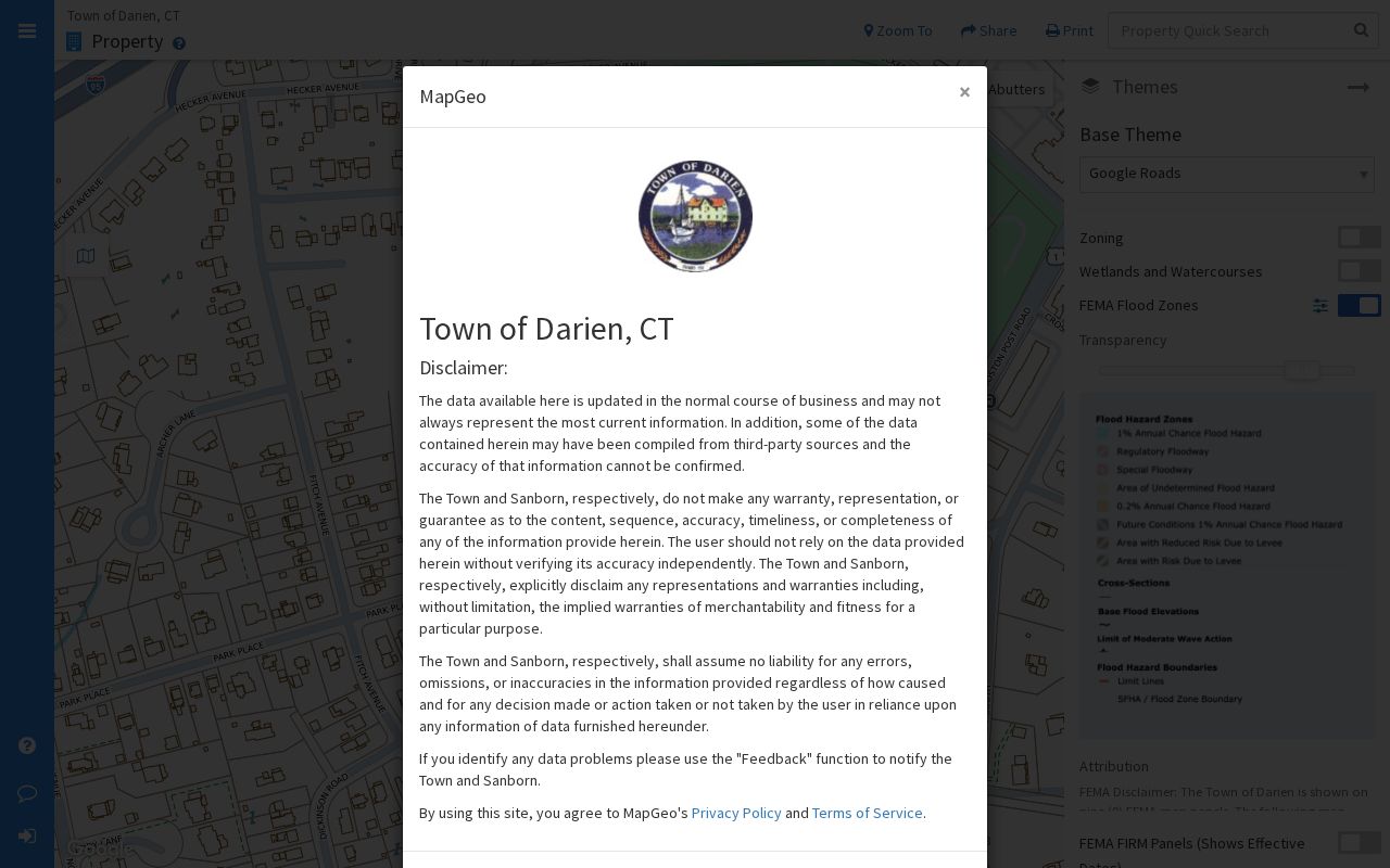
The Darien MapGeo image shows a parcel and layer workflow for Darien neighbors, not a finished list of people attached to nearby lots.
Map a Darien Block by Parcel
Begin with one known Darien street address and walk outward through the map. The goal is to identify the surrounding Darien parcels and the records that describe them, while keeping the owner, mailing address, situs, and occupant questions distinct. Darien MapGeo and the Darien GIS Portal provide the geographic view; iASWorld provides a separate current property search.
- Enter the Darien address in MapGeo or the town-linked GIS portal and confirm the parcel outline and map-lot.
- Set the Darien abutter distance or inspect touching parcels, then open each public property card one at a time.
- Note only the fields needed for the question: parcel ID, map-lot, situs, current owner, mailing location, zone, and source date.
- Compare the Darien card with iASWorld when a current assessment, sale, or building field matters, and note that MapGeo carries a no-warranty warning.
- For a whole named street and its record chain, move to the Darien street directory rather than treating a radius view as a street roster.
This process produces a Darien map-based set of nearby parcels. It does not identify every household member or prove that a property owner occupies the parcel. A private association boundary, a voter district, and a tax district may also cross the same Darien map without sharing the same membership or address rules.
Darien Owner Cards Need Context
Darien Assessor/iASWorld and Darien MapGeo expose related but not identical property fields. The Darien assessor portal offers searches by real estate, owner, address, parcel ID, sales, and map. A Darien property datalet can show PARID, owner, situs, mailing address, map-lot, neighborhood, class, land-use code, living units, acreage, zoning, notes, and reports. MapGeo cards add account, land area, sale details, and residential or commercial building information.
The Darien portal states that data are based on the 2023 revaluation grand list. Values as of October 1, 2025 are effective for the July 2026 tax bill, and the inspected online data reported a July 24, 2026 update. Darien MapGeo says its data may not be current and carries a no-warranty disclaimer. Treat both as current-property tools, then verify a needed fact with the Darien Assessor at 203-656-7310 or the responsible Town Hall office.
- Situs address
- The Darien location of the parcel or building shown in the property record.
- Mailing address
- The address used for owner correspondence, which may differ from the situs.
- Map-lot or account
- A municipal identifier that helps keep nearby parcels distinct when street labels repeat or change.
- Owner field
- A current property relationship, not a complete list of people living at the address.
Noroton Bay's Darien Map 341 Story
Noroton Bay shows why Darien neighborhood context should be kept separate from a municipal resident list. Darien zoning section 410 describes the R-NBD district as about 77 lots, many created by 1926 Map 341 filed in the Darien Land Records. The streets and drainage are privately owned and maintained, and the Noroton Bay Homeowners Association is named in the zoning material.
The Noroton Bay Homeowners Association describes a Darien neighborhood on Long Island Sound and uses registration or login conditions for membership and beach access. No public member list was located. The Darien association page can explain governance or access, but it cannot be treated as proof that every nearby parcel belongs to an association member.
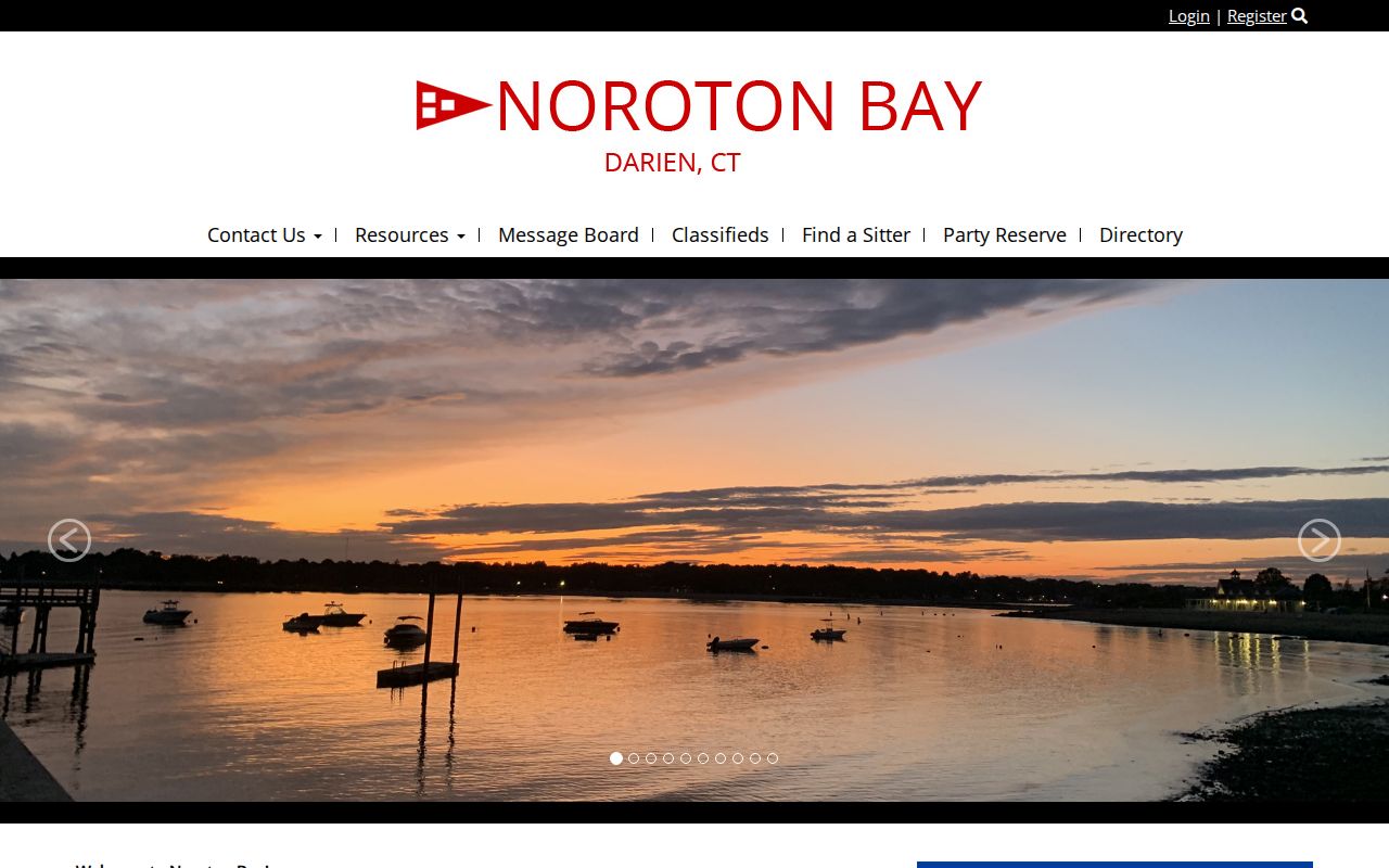
The Noroton Bay image adds the private-association layer to the Darien neighbors map without exposing a membership roster.
Noroton Manor's Darien 1922 Trail
Noroton Manor has a distinct Darien subdivision history. Its association says Noroton Manor Inc. purchased the subdivision from the estate of Joseph D. Weed in June 1922. The association describes private road, beach or water access, tennis, and social events. Those details help explain a neighborhood's private governance and physical history, but they are not a public list of current households.
The Noroton Manor Property Owners Association history is the source for the 1922 purchase account. Use it beside Darien Town Clerk maps, deeds, permits, and a parcel card when a house-history question reaches this subdivision. A private association's property-owner language and the Darien owner field are related clues, not interchangeable records.
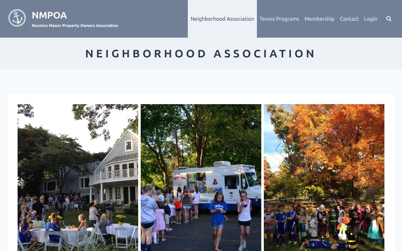
The Noroton Manor image shows why local association history can explain a block's road and access pattern while remaining separate from townwide resident data.
Tokeneke Neighbors and Tax Districts
Tokeneke adds another Darien boundary layer. Notices from the Tokeneke Association identify a Tokeneke Tax District and say that property owners or registered voters within the district may vote at an annual meeting. One notice places the neighborhood in Darien RTM District 2. A tax district, an RTM district, a ZIP route, a parcel boundary, and a neighborhood association are not the same geography.
The Tokeneke Association is useful for Darien civic and neighborhood context. It does not provide an official townwide neighbor roster, and eligibility for an association meeting does not establish that a particular person occupies a nearby house. Check the date and scope of each notice before using it to describe a Darien block.
The Tokeneke image illustrates how a civic boundary can sit beside, but not replace, the parcel map and municipal record layers.
Darien Voter Visibility by Block
Connecticut voter records are maintained by local registrars, not by a Fairfield County office. Darien Registrars work from Darien Town Hall Room 106 and maintain six voting districts. Official Darien street and district directories can help match a street and number to a district, but Darien polling locations and district details should be checked with the Registrar or Secretary of the State.
The Connecticut Secretary of the State voter lookup is the official public route to check Darien registration. Its current field labels, required fields, result presentation, pagination, and address display were not inspectable in the research capture, so no guessed search form belongs here. The statewide voter file is a separate $300, CSV-only, use-limited request. Public Act 26-1 makes month and day of birth exempt from public release, leaving only the birth year in the released file.
No official Darien block-level public voter or neighborhood roster was located. Do not derive one from the six district directories or publish a list from nearby property cards. A protected result may reflect Connecticut's Address Confidentiality Program or the voter privacy statement under CGS section 9-50(d), not an absence of registration.
Darien Community History Sources
The Darien Community Association is a local Darien institution at 274 Middlesex Road, founded in 1923. It can provide community context, programs, and an organization history, but it is not a townwide neighborhood association or resident roster. The Darien Community Association history page is the correct source for that institutional fact.
For earlier Darien block context, Darien Library points to directories, yearbooks, obituary research, and Darien or Noroton Heights history. The Museum of Darien provides local documents, photographs, and oral histories by appointment. The Library of Congress 1946 Sanborn map supplies building context for Darien, Noroton, and Noroton Heights. Use these sources to understand how a place changed, then return to the current Darien parcel and Town Clerk record for the address question.
The Darien Community Association page shows the civic-history route.
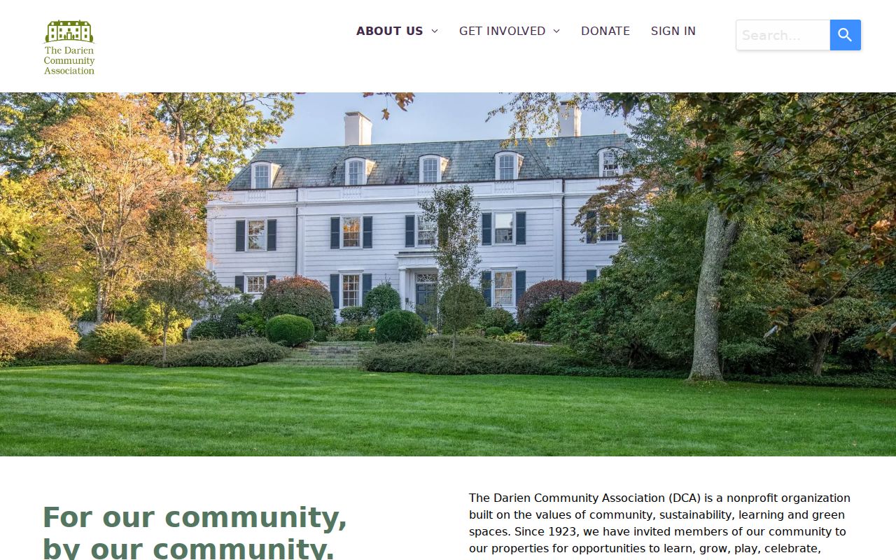
The community image adds an institutional layer to Darien neighbors research without implying that the association maintains a public membership list.
Privacy Limits for Darien Neighbors
A Darien parcel map can show adjacency, but a public record rarely answers every question about a household. Connecticut's Address Confidentiality Program can suppress an actual address for qualifying victims, and the voter privacy program permits protection after a sworn endangerment statement. CGS section 1-217 also protects residential addresses of specified public employees and officials on written request. Darien birth, court, probate, police, and voter records have their own access rules.
Official sources and commercial people-search tools also serve different purposes. Commercial profiles may combine public and commercial data, retain stale matches, or attach a person to an old address. They are not authoritative for Darien adjacency or occupancy. The Darien comparison below keeps the category distinction clear.
| Official parcel and assessor records | Support current parcel, owner, mailing, situs, map-lot, assessment, sale, and building facts. They do not create a complete occupant roster. |
|---|---|
| Official voter records | Support registration and election-geography questions within Connecticut rules. The public block-level result and protected-address rules limit what can be shown. |
| Private Darien association pages | Support subdivision, tax-district, road, beach, or civic context. No public member list was located for the Darien associations reviewed. |
| Commercial neighbor-lookup tools | May offer an assembled profile, but stale or mismatched data can make it a poor source for a Darien parcel or Darien household conclusion. |
Lawful use. Use Darien neighbors research for getting to know a block, reconnecting, civic curiosity, or personal safety awareness. Do not publish a private mailing address or use a lookup to stalk, harass, or intimidate anyone. Connecticut criminal law supplies the relevant safety boundary.
A privacy-safe Darien result names the custodian and the public field, dates the source, and leaves out a mass list of living people. For current Darien flood or zoning map questions, use Darien Planning and Zoning rather than treating older FEMA layers as current. Existing non-exempt Darien town maps or permit logs can be requested from the responsible office under Connecticut FOIA, but no request creates a private association roster. When a Darien block question needs more than those facts, ask the responsible office rather than infer a relationship from proximity.