
Darien ZIP Code Coverage
The verified Darien postal entry is narrow. The Darien town profile and USPS material support 06820, while no additional townwide preferred postal ZIP was verified in the research. The table keeps Darien postal, local, and boundary information apart.
| Darien ZIP | Areas covered | Post office context | Notes |
|---|---|---|---|
| 06820 | Darien, with local labels such as Noroton Heights inside the town context | Darien Post Office, 25 Old Kings Highway North Suite 18; USPS list also names Darien and Noroton Heights locations | USPS output does not confirm a person or company. |
| Other ZIPs | No additional Darien-wide preferred ZIP verified | Check USPS for a particular address | Do not infer neighboring Stamford or Norwalk ZIPs as Darien ZIPs. |
The single verified Darien row does not mean every nearby place name is a separate ZIP. It means a postal field, town boundary, Census label, and neighborhood label need to be stored as different Darien facts.
Search the Darien ZIP Code
The USPS ZIP Lookup has three modes for a Darien address. By Address asks for Company, required Street Address, Apt/Suite/Other, City, State, and ZIP field. By City & State asks for the city and state. Cities by ZIP asks for a full five-digit ZIP. Select the mode that matches the information already known.
- Enter the Darien street number and the street name as written on the address.
- Add unit information when the address has an apartment, suite, or other secondary line.
- Use Darien and CT in the city and state fields, then compare the returned ZIP.
- When starting from 06820, use Cities by ZIP to see the postal-city context.
- Save the Darien result as a formatting check, not as proof that a resident receives mail there.
Postal lookup is a useful first Darien check before a town record search. It does not replace the Darien street-range PDF, Assessor, MapGeo, or Town Clerk when the goal is a parcel or recorded instrument.
Darien ZIP Code and USPS City
The Darien Town Profile gives the Darien Post Office address as 25 Old Kings Highway North, Suite 18, Darien, CT 06820. A USPS 2018 list also names Darien at 30 Corbin Drive and Noroton Heights at 368 Heights Road under ZIP 06820. Darien retail operations and hours can change, so verify current postal details before relying on them.
“Darien” is the preferred postal city in the town material. Noroton Heights is a local place and post-office label, not a separate county office. Noroton, Tokeneke, and Darien Downtown also appear as local geography in Census or town materials. A Darien form’s City field should follow USPS output for the particular address, while a Darien research note can retain the neighborhood label separately.
The Darien postal directory is most useful when it explains that mismatch rather than flattening every place name into one field.
Darien Census ZIP Geography
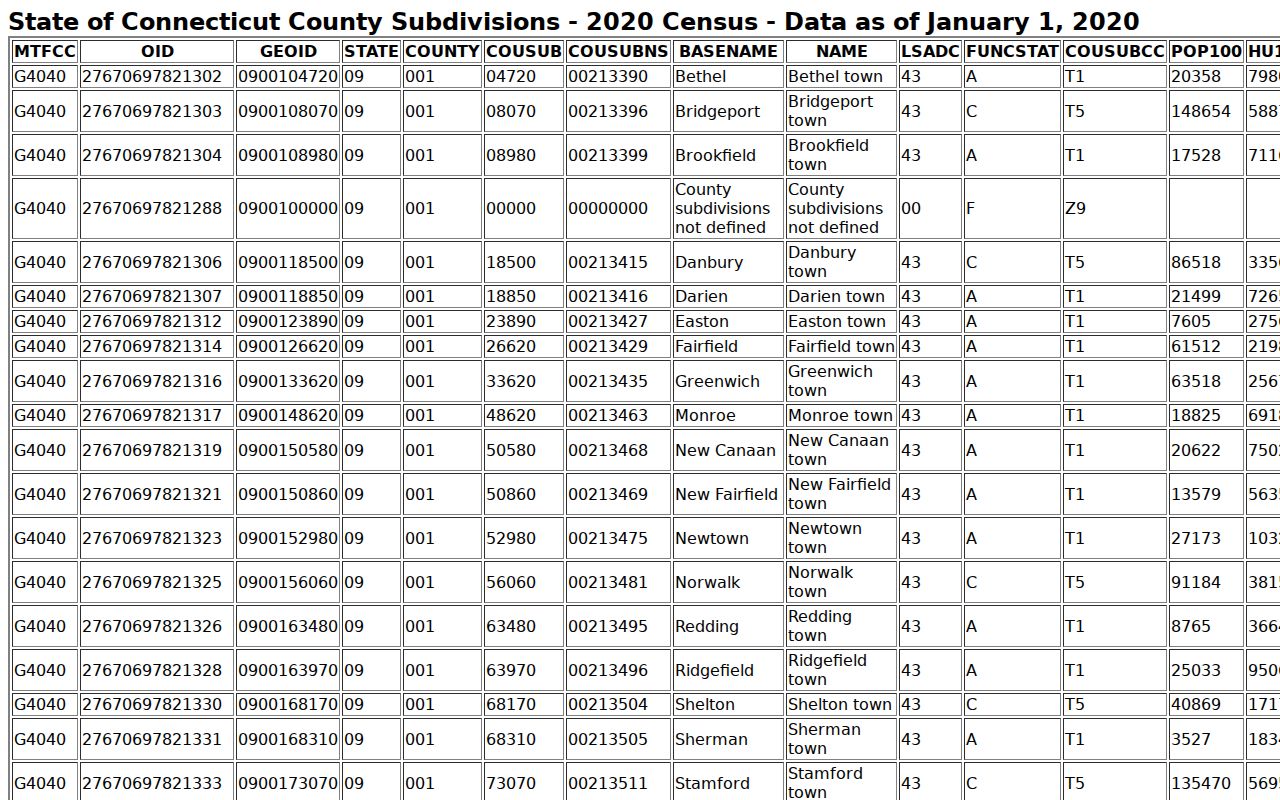
Darien Census geography supplies a different kind of cross-check. The Fairfield County map labels Darien, Noroton, Noroton Heights, Darien Downtown, and Tokeneke. TIGERweb identifies Darien as a town and county subdivision with GEOID 0919018850. The Darien Town Profile supplies a 2020 population of 21,485 and an area of 23.4 square miles, including land and water. State the source and vintage when using those figures.
A Census label is not a live Darien postal lookup. It describes the map product and its date. The Darien street and district PDFs are better for local number ranges, while USPS is better for postal fields. Darien MapGeo is better for parcel geometry, and the Town Clerk is better for legal maps.
The Census TIGERweb Darien record supplies the town geography shown in this ZIP code directory capture.
Darien Address Search by ZIP
Some Darien local portals accept ZIP as one part of a broader search. The Judicial Branch property-address search requires a City/Town of at least three characters, accepts a partial Street Address, and takes a full five-digit ZIP. It also has Property Type choices for Residential Properties, Commercial Properties, or All Properties and Case Status choices for Active, Disposed, or All Cases.
Those fields identify a filed Darien court matter connected with an address. They do not create a ZIP-based resident roster. DCP eLicense also has city, state, ZIP, and country fields, but its main search keys are credential, business, or person fields. SOTS business results can show a Darien street, city, state, and ZIP after a business-name, ALEI, or filing-number search.
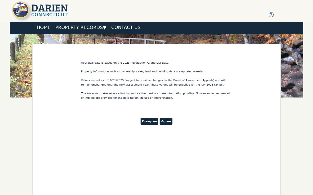
When a Darien Assessor search is needed, use its address or parcel modes. The accessible research did not verify a populated ZIP filter in the Assessor or MapGeo view.
The Darien Assessor parcel search route is the property-side comparison for the ZIP workflow pictured here.
Normalize Darien Street Records
Before using a Darien ZIP code directory result in a town search, split the address into stable fields: street number, directional prefix or suffix, street name, Road or Avenue abbreviation, unit, city, state, and ZIP. Keep the original wording in a historic field. A current standardized Darien address can be useful for the portal, while the old form may be the key to a directory or map.
The Darien Assessor card for PARID 10797 offers a precise example. The current situs is 3 Ziggy’s Way, map/lot 58 1-L, and a note says the former name was Coon Point Road. That note belongs to one Darien parcel. No townwide renaming or numbering project was located, so do not apply it to every address that resembles the old name.
Record the Darien ZIP separately from the neighborhood label. The difference matters when an old directory uses Noroton Heights while a postal form uses Darien.
Darien ZIP Place Labels
A postal code, town, Census place, voting district, tax district, neighborhood association, and street range can all describe the same part of Darien while meaning different things. Darien Tokeneke Association notices refer to a Tokeneke Tax District and one notice places the neighborhood in RTM District 2. That civic layer is not a USPS city field or a Darien municipal boundary.
Noroton Bay’s Darien zoning record describes an R-NBD with approximately 77 lots and private roads. Noroton Manor’s Darien association history describes a private subdivision purchased in June 1922. Association access or private-road governance does not change the Darien postal ZIP. Keep the place label as context, not as a substitute for 06820.
When a source supplies a label, save the source name and date. That is safer than treating every occurrence of “Noroton” as an address correction.
Darien Town Scale and ZIP
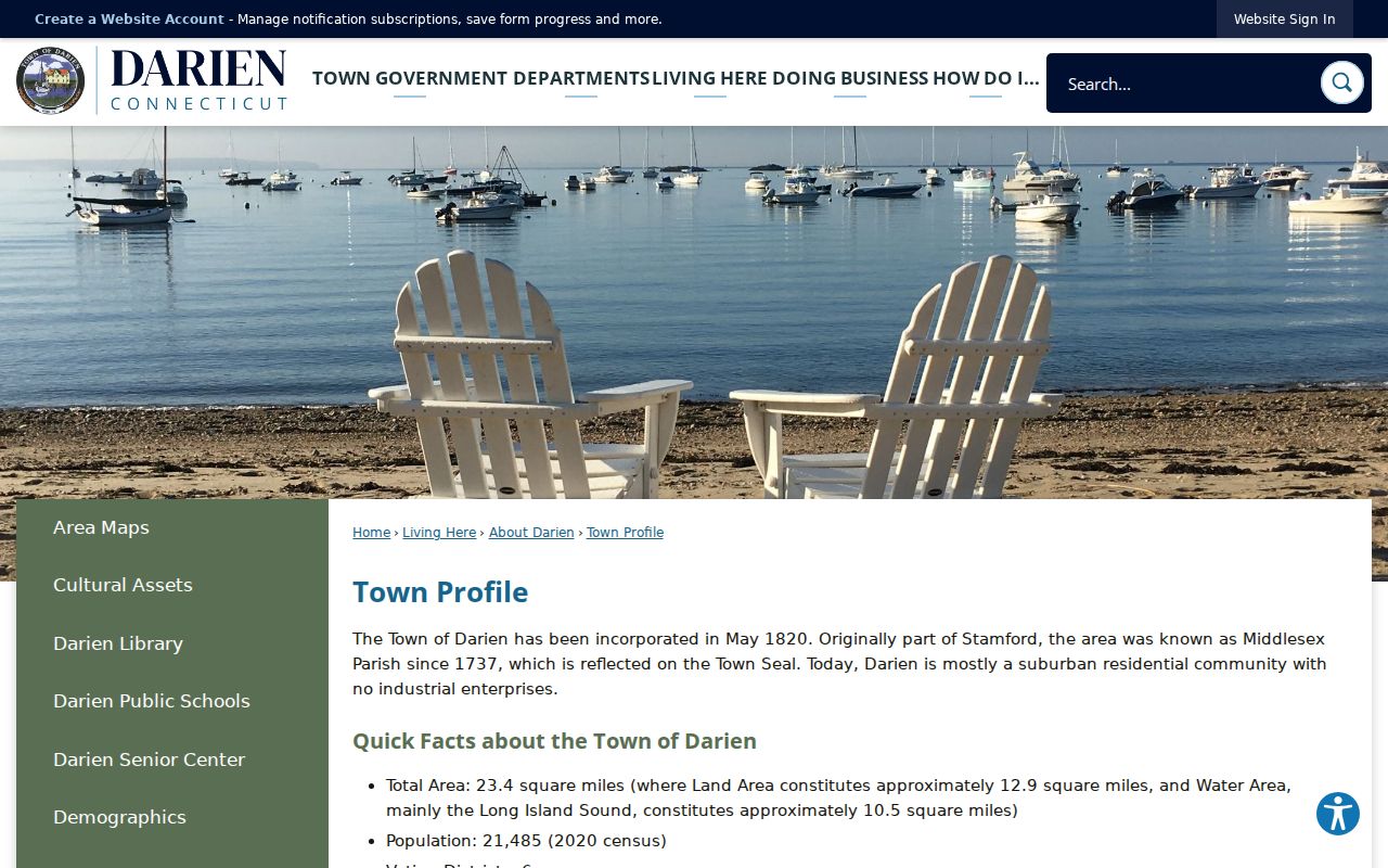
The Darien Town Profile describes a Darien town of 23.4 square miles with six voting districts and a 2020 Census population of 21,485. Those numbers give the Darien ZIP code directory a sense of scale, but they do not tell how many people live at one street address or how many records are publicly indexed.
The Darien Town Profile also identifies the Darien Post Office location and municipal contact information. Use that Darien source for town-level context, then use USPS for the address-level result. The two sources can agree on 06820 without proving that a named person is associated with the address.
The official Darien Town Profile is the source for the town-scale context shown in this directory image.
From Darien ZIP Code to Street
A Darien postal field narrows the address, but street-level research starts with the town’s official street and number-range directory. Check the range, then use the Darien Assessor and MapGeo for the parcel. The Darien street directory keeps that address chain in one place, including maps, deeds, permits, historic former names, and district context.
Use the Darien ZIP only as one normalization field in the log. The parcel or map-lot, date, record type, and source URL should carry the research forward. A Darien ZIP match without a street and number is not enough to identify a property.
What a Darien ZIP Code Cannot Show
USPS says a lookup result does not confirm a person or company at an address. A Darien postal directory therefore cannot show who lives in 06820. It cannot distinguish an owner from an occupant, reveal a private mailing list, or bypass voter, vital, court, or address-confidentiality rules. Those Darien questions belong to their own custodians.
Use postal records carefully. ZIP research is for address format, town geography, family-history sorting, and a clean handoff to an official parcel or record route. Do not use a postal result to expose a protected person or build a list of nearby households.
When a Darien search is about a person, move to the appropriate official source and match at least two identifiers. When it is about a Darien parcel, use the street, map-lot, and Town Clerk chain. Keep ZIP and identity separate.
Darien ZIP Research Access
Online Darien access includes USPS, Census TIGERweb and data.census, the town street and district PDFs, Assessor/iASWorld, MapGeo, the ArcGIS portal, and official zoning or map pages. In person or by phone, the Darien Assessor and Planning and Zoning can help with local map questions, while the Darien Town Clerk handles legal map and record copies. The postal carrier or USPS contact route is the right place for an operational ZIP question.
For an existing Darien municipal addressing record that is not posted, a focused Connecticut FOI request can name the department, street, date range, and desired format. It cannot make the town create a ZIP-based resident list. The Darien Library, Museum, State Library, LOC maps, and old directories can explain why a historic address uses a different locality label.
Save the Darien ZIP result, address spelling, place label, source date, and record boundary. That small log keeps the Darien ZIP code directory accurate without claiming more than the source provides.