
Check Darien Street Ranges
The first step in a Darien address search is not a name. It is the address itself. The official Darien town street list gives street names and number ranges, while the Darien polling and district directory adds voting-district and polling context. Neither publication is a resident list. Together they help catch a misspelled street, an impossible number, or a place label that belongs to a different part of Darien.
Walk the Darien record chain in separate passes. Use the same normalized street spelling each time, and save the original spelling when a historic Darien source uses a different label.
- Check the official Darien street and number-range PDF.
- Use the polling and district directory to note the district, then verify the current polling place with the Registrars.
- Search the Darien Assessor by address, owner, parcel ID, sales, or map.
- Open the parcel in MapGeo and record the account or map-lot, zone, sale, and building fields.
- Search the Darien Town Clerk land index by party, date, map reference, and document type.
- Check the Darien Building street card or ViewPoint, then compare a historical directory if the question reaches backward.
The Darien result is a source chain, not a ready-made roster. A street range proves the number belongs on that street. A Darien parcel card shows the town’s property fields. A Darien deed names a recorded party. A directory entry identifies a dated subscriber or household lead. Those are useful pieces, but they do not all mean current occupant.
Darien Records by Street
Darien address-keyed sources overlap without becoming interchangeable. This coverage table shows what each layer can add to a Darien by-address search and where its time or access boundary begins.
| Record source | Coverage or date | Address fields and route |
|---|---|---|
| Town street directory | Current published PDF | Street name and number range; no names |
| Polling and district directory | Current PDF; archived 2022 example | Street, district, and polling-place context |
| Darien Assessor/iASWorld | Current data; weekly statement; 2023 revaluation base | Situs, owner, mailing, parcel, sales, land, building |
| Darien MapGeo and ArcGIS | Current GIS layer; start date not located | Boundary, account, map-lot, zone, sales, building, abutters |
| Darien Town Clerk/RecordHub | Index 1969-current; images 2003-current; maps 1820-current | Recorded party, map reference, volume/page, related documents |
| Darien building records | Street cards through August 2021; ViewPoint 2021-current | Permit number, address, type, inspection, building history |
The Darien street list validates an address. The Assessor and MapGeo attach property fields. Darien RecordHub traces legal instruments. Darien building records add construction or demolition context. A historical directory may add a person or telephone field. Moving from one layer to the next is what makes the Darien address trail useful.
Darien Assessor Address Search
The Darien Assessor portal is the main current Darien address record. Its search navigation includes Real Estate, Owner, Address, Parcel ID, Sales Search, and Map Search. A Darien result card can expose PARID, owner, situs, mailing address, map/lot, neighborhood, class, land-use code, living units, acreage, zoning, notes, and a printable report route. The Darien portal states that online data are updated weekly.
| Darien portal control | How to use it in a street search |
|---|---|
| Search by Address | Enter the normalized situs street and number. |
| Search by Owner | Test a recorded name after a parcel or deed supplies it. |
| Search by Parcel ID | Carry PARID or map-lot into a second record. |
| Sales Search | Compare a dated sale field, not a current occupancy claim. |
| Map Search | Use the parcel view to inspect land and location context. |
| Report selector | Use DARIEN RES PRC, DARIEN COMM REC, or printable view when shown. |
The Darien Assessor portal says the 2023 revaluation grand list underlies current data and that values as of October 1, 2025 are effective for the July 2026 tax bill. That is a currentness note, not a historical start date. Older Darien cards and maps remain available on public computers in Room 102 at Town Hall, 2 Renshaw Road. The Darien Assessor page lists 203-656-7310 and Monday through Thursday hours of 8:00 a.m. to 5:15 p.m.
A sample Darien Assessor parcel card shows the kind of address and parcel fields a street search can carry forward.
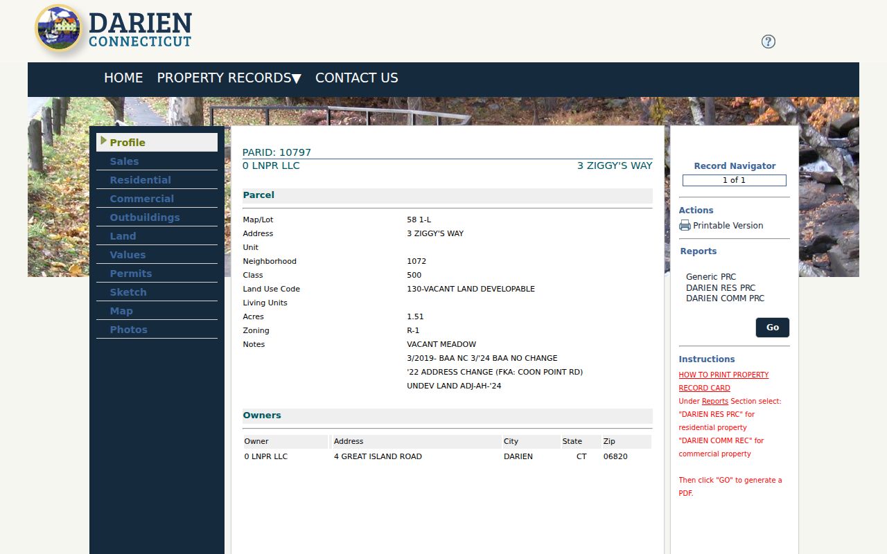
Do not read the owner or mailing address as proof that a person lives at the situs. That distinction is central to every by-address result.
Darien MapGeo Parcel Layers
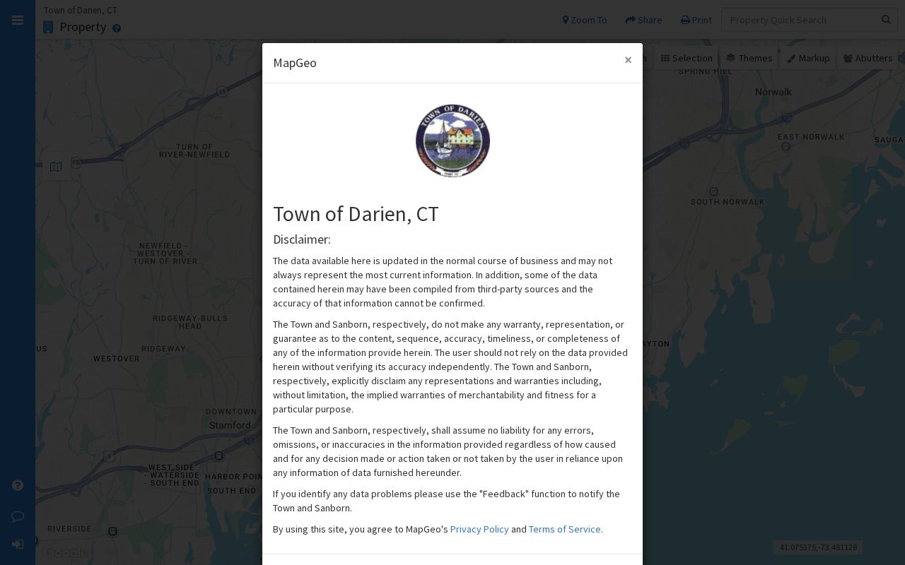
Darien MapGeo adds the visual step. A Darien quick search can open a parcel card with address, map-lot, account, ownership or mailing data, land area, zone, sale date and price, and residential or commercial building details. The Share and Print controls make a Darien snapshot useful for notes, but the Darien MapGeo disclaimer says data may not be current and is not a certified record.
Use the Darien map to see the parcel boundary and nearby parcels, then carry the account or map-lot back to the Assessor or Town Clerk. MapGeo also exposes themes and an abutter-distance parameter. A Darien URL captured with abuttersDistance=100 demonstrates the control, but live distance choices and results depend on the map state. The map shows adjacency. It does not prove a social connection or who is inside a building.
The Darien MapGeo property viewer is the source for this street-directory parcel view.
Darien Deed Index Since 1969
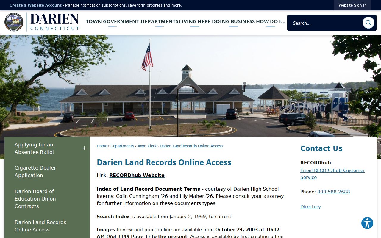
The Darien Town Clerk’s land-record page sends the modern address search to Darien RecordHub. The searchable index begins January 2, 1969. Deed and document images begin October 24, 2003 at 10:17 a.m., and Darien maps are available from January 1, 1820. A RecordHub account is needed for online image viewing; plan, print, and download charges depend on the access route.
Darien RecordHub Quick Tips describe Simple Search, Expanded Search, date range, document and index-type filters, a Name Directory, AND/OR searches for a second name, wildcard use, related documents, and image controls. For a Darien street, run separate passes. Search the address or map reference. Search each known party. Try a date range. Then record the result fields before opening an image.
- Grantor or grantee
- The party transferring or receiving an interest in the recorded instrument.
- Volume and page
- The book-and-page reference used to request an older image from the Town Clerk.
- Legal description
- The formal land description that can outlast a street spelling.
- Related document
- A linked instrument that may explain a release, correction, map, or later filing.
The Darien land-record access page supplies the coverage dates and fallback route shown here.
When an older Darien image is needed, find its volume and page first, then email townclerk@darienct.gov. The Darien Town Clerk page states $2 per page for that route. No turnaround promise was located.
Darien Maps Since 1820
Maps are the bridge between a current Darien address and an older lot. Darien’s land-record map coverage reaches January 1, 1820, around the town’s incorporation. A Darien map can show a subdivision, lot line, or road relationship when an online deed image is too new. The legal instrument still belongs to the Darien Town Clerk, and a map snapshot should not be treated as a certified title record.
Noroton Bay supplies a local Darien example. Zoning section 410 describes the Noroton Bay District, approximately 77 lots, many created by 1926 Map 341, with private roads and drainage. That Darien map and zoning context can explain how an association or private road relates to a parcel without turning the area into a separate town or county.
Keep the map number, parcel identifier, date, and source URL with the note. Preserve an old street name rather than silently replacing it with the current one.
Darien Permit History by Address
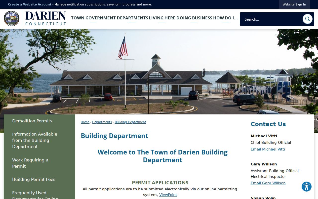
Building records add a different kind of Darien street history. Darien’s street cards at public computers show permit history through August 2021. The Darien Building Department uses ViewPoint for 2021-present electronic permit applications and links building and demolition logs. State Archives RG 062:035 holds Darien building permits from 1937-2008. No complete public code-enforcement search was located.
Current Darien ViewPoint instructions mention contact information, location information, permit type, uploads, draft saving, and submission. An inspection request uses Permit Number, Address, Type of Inspection, and requester name and phone. These fields help identify a dated Darien building event. They do not establish who occupied the address.
The Darien Building Department page is the source for the street-card and ViewPoint transition pictured below.
Former Street Names Need Proof
One Darien Assessor example shows why a Darien street directory search must retain former labels. PARID 10797 lists current 3 Ziggy’s Way and includes the note “FKA: COON POINT RD.” The parcel also carries map/lot 58 1-L. This is a Darien record-level former-name clue. It is not evidence of a townwide renaming or numbering project, which was not located in the research.
Test a former name in the Darien Town Clerk map index, RecordHub party or map references, historical directories, permits, and Sanborn sheets. Keep the current address and historic wording in separate fields. A search for only the current Darien street can miss an older directory entry, while a search for the former name alone can blend unrelated places.
The Darien RecordHub search is useful after the address and map reference have been normalized. Record the exact spelling, date, and identifier from each result.
The RecordHub entry point is the source for the grantor-grantee and map-reference workflow used in this Darien street directory.
Darien Old Directories by Street
Selected Darien city-directory volumes listed by the Bridgeport History Center run from 1926 through 1991, with gaps. From 1895, many Darien directories include street listings as well as alphabetical entries. The Library of Congress telephone collection for 1952-1955 supplies a narrower name, street, locality, and telephone trail. It should not be described as a full city directory.
Use a Darien street listing to move from an address to a dated name, then confirm that lead with a deed, obituary, family record, or another directory year. The Darien city directory collections page explains the holdings and how to read an entry; this Darien street directory keeps the emphasis on address normalization and the current parcel chain.
What Darien Street Directory Cannot Show
A Darien street directory can show a published range, parcel, owner, mailing field, recorded party, permit, district, or dated subscriber. It cannot supply a complete list of people inside each address. The Darien Assessor does not provide a complete occupant roster. The voter lookup’s current result fields were not verified, and Connecticut privacy programs can suppress protected names or addresses. Darien association pages do not create a public membership list.
Lawful use. Use street records for address research, family history, reconnecting, estate work, civic questions, and personal safety awareness. Do not use them to stalk, harass, intimidate, impersonate, or publish a protected person’s address.
Match at least two independent identifiers before calling a Darien person a likely match. A name plus address and date is stronger than a name alone. A Darien parcel plus deed volume and page is stronger than a map label. Keep private mailing details out of a public note when the record type and official route are enough.
Darien Street Research Access
Online Darien routes include the town street and polling PDFs, Assessor/iASWorld, MapGeo, ArcGIS, RecordHub, ViewPoint, and permit logs. In person, the Darien Assessor and Building Department provide public computers, while the Darien Town Clerk provides the vault and map or copy route. Darien phone and email contacts matter when an older image or a current map question cannot be settled online.
For a missing non-exempt municipal record, a focused Connecticut FOI request can name the Darien department, street, date range, record type, and desired format. It cannot require the town to create an occupancy report. The Darien Library, Museum, State Library, Archives, LOC maps, and city directories supply the historical fallback.
Keep a small Darien research log: normalized address, former spelling, parcel or map-lot, owner-of-record date, permit event, directory year, polling district, source URL, and retrieval date. That format preserves the difference between a Darien street directory lead and a verified record.